A winter storm warning is in effect for the Sierra Nevada, where residents and travelers are bracing for significant snowfall and hazardous conditions. The National Weather Service has issued this warning for elevated mountain areas, particularly the West Slope Northern Sierra Nevada and Western Plumas County/Lassen Park, where elevations exceed 4500 feet.
Forecasts indicate that additional snow accumulations of 12 to 18 inches are expected above 4500 feet, with the highest peaks potentially receiving up to 2 feet of snow. Winds are also a concern, with gusts reaching as high as 45 mph, creating treacherous conditions.
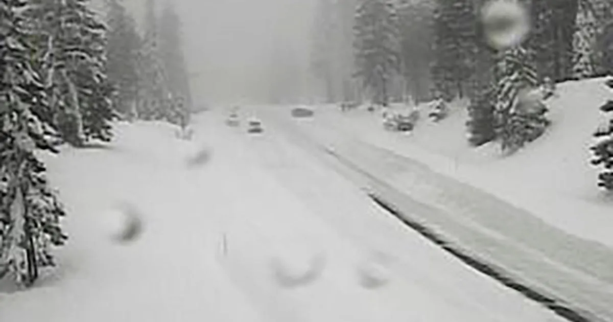
Travel is highly discouraged due to slick road conditions, and officials are urging anyone who must travel to exercise extreme caution. The UC Berkeley Central Sierra Snow Lab reported nearly eight inches of snow on April 11, setting the stage for this late-season storm.
The warning is set to last through 11 PM PDT on April 12, with the storm expected to continue impacting the region into Sunday evening. Travelers are advised to delay their trips if possible, as whiteout conditions could develop, reducing visibility to below a quarter mile and making travel not only difficult but potentially life-threatening.
As the storm progresses, additional snow accumulations up to 14 inches are anticipated in certain areas, with the potential for widespread snow accumulations of 1 to 2 feet above 4500 feet and even 2 to 5 feet above 6000 feet. This late-season event highlights the Sierra Nevada’s reputation for dramatic weather swings, even in April.
Details remain unconfirmed regarding the full extent of the storm’s impact, but residents are encouraged to stay informed and prepared as conditions evolve.


