What to Expect from the Upcoming Snowfall
As Denver prepares for a significant winter storm, the central question is: how much snow can residents expect? The snowfall weather forecast indicates that the area will see between 3 inches and up to a foot of snow, with the heaviest amounts expected in the southern foothills. A winter weather advisory will be in effect for the next 24 hours starting midnight Thursday, affecting the High Mountain Parks, Front Range Foothills, Park Range mountains, and the Palmer Divide.
Details of the Winter Storm Warning
In addition to the advisory, a winter storm warning will be in effect from midnight Thursday through midnight Friday for the Front Range mountains, the Medicine Bow Range, and the mountains of Summit County and the Mosquito Range. Localized snowfall rates of 1-2 inches per hour can be anticipated under the heaviest snow bands, which will likely create challenging conditions for commuters and travelers.
Impact on Denver and Surrounding Areas
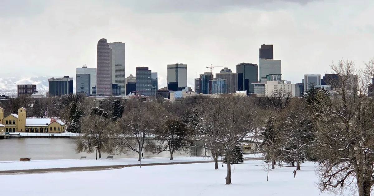
For the city of Denver, snowfall is expected to range from a trace to 2 inches. The last measurable snowfall in the Mile High City occurred on January 25, making this storm a notable event for residents. High temperatures on Friday are forecasted to be in the mid to upper 30s, but temperatures will drop to near freezing by sunrise, creating slick conditions on roads.
Travel Considerations
Travelers heading to the mountains or foothills should prepare for a tough morning commute on Friday. Commuters are advised to expect slick conditions regardless of the amount of snow that falls in the city. The National Weather Service has cautioned that the biggest impacts from this snowstorm will be felt across the Front Range mountains.
Community Preparedness
In response to the impending cold weather, the City of Denver has activated its cold weather shelter plan. All shelter sites are pet-friendly and provide essential services such as food, showers, and blankets for those in need. This initiative is crucial as temperatures are expected to drop significantly.
Looking Ahead
As the storm progresses, milder and drier weather is anticipated to return on Saturday, with a high of 50 degrees. However, the immediate focus remains on the snowfall and its impact on local conditions. Residents are encouraged to stay informed through local news outlets such as Denver7 and heed any advisories issued by the National Weather Service.
Expert Insights
Weather experts have weighed in on the situation, with Stacey Donaldson noting, “Overall, it looks like light amounts of snowfall … should be pretty slushy here for our area; it’s just been so warm lately.” Meanwhile, Lisa Hidalgo remarked, “If you are skiing in the next couple of days, some great powder on the way.” These insights highlight the mixed conditions that residents can expect as the storm unfolds.


