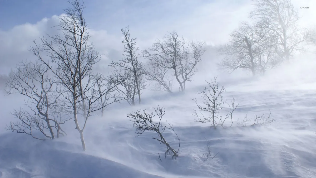
A powerful late-season winter storm is set to hit the Sierra Nevada on May 1, 2026, bringing unprecedented snowfall and dangerous driving conditions. Residents and travelers alike should prepare for significant challenges as this storm unfolds.
Before this storm, many anticipated a relatively mild spring. However, forecasts have shifted dramatically, predicting heavy snow totals of up to 4 feet in some areas. Wind gusts could reach 70 MPH, with local gusts potentially hitting 80 MPH.
The effects of this sudden change are already apparent. Drivers on highways like I-80 and Highway 50 may face multi-hour closures from Sunday night into Monday due to hazardous conditions. Local authorities have advised that chain requirements will likely begin for most vehicles at elevations above 5,000 feet.
Winter driving tips:
- If you must travel, be cautious on mountain passes, especially I-80 (Donner Pass), which has a very high risk of blizzard conditions.
- Ensure your vehicle is equipped with chains if you plan to drive in elevated areas.
- Clear snow and ice from your vehicle before hitting the road—drivers are legally required to do so.
The National Weather Service warns that temperatures will remain below freezing for most of the week, limiting any potential snow melt. This means that the snow accumulation will not only create treacherous driving conditions but could also impact local infrastructure and services.
The system is expected to arrive Sunday evening, peak on Monday, and taper off by Tuesday afternoon. As the community braces for this weather event, officials stress the importance of staying informed and prepared.
With such severe weather predicted, residents are encouraged to stay indoors if possible and monitor local news for updates on road closures and safety advisories.


