Severe Weather Radar Update
The Chicago area is facing an elevated risk of severe weather on the evening of March 10, 2026. Intense storms capable of producing tornadoes, large hail, and fierce winds are expected to develop as the day progresses.
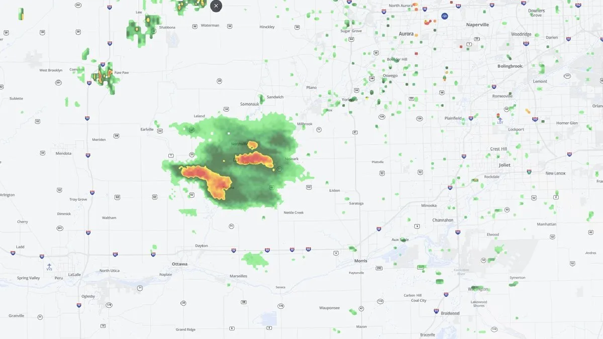
Grundy, LaSalle, and Will counties have been upgraded to a ‘moderate’ risk for severe weather, while a large part of Cook County is under an ‘enhanced’ risk. Areas near and south of I-80, including Joliet, Frankfort, Morris, and Kankakee, are predicted to experience the strongest storms.
The earliest chance for showers and storms is anticipated around 3 p.m., with a line of showers and storms expected to produce severe weather around 7 or 8 p.m. Severe weather is projected to continue through midweek, raising concerns for residents in the affected areas.
This weather event comes on the heels of another severe weather outbreak that impacted some of the same areas just last week. The potential for tornadoes, damaging winds, and large hail extends beyond the Chicago area, affecting parts of the South, Plains, and Midwest.
Caitlin Kaiser, a digital meteorologist with weather.com, emphasizes the importance of monitoring the situation closely. CAPE, which measures the amount of instability in the atmosphere, is essential for thunderstorm development, while wind shear is a key ingredient in the formation of severe storms.
As the situation develops, officials and meteorologists are urging residents to stay informed through reliable weather updates and to prepare for potential severe weather impacts. Details remain unconfirmed regarding the exact timing and severity of the storms, but the radar indicates a significant risk for the region.
Residents are advised to have a safety plan in place and to heed any warnings issued by local authorities as the severe weather unfolds.