Key moments
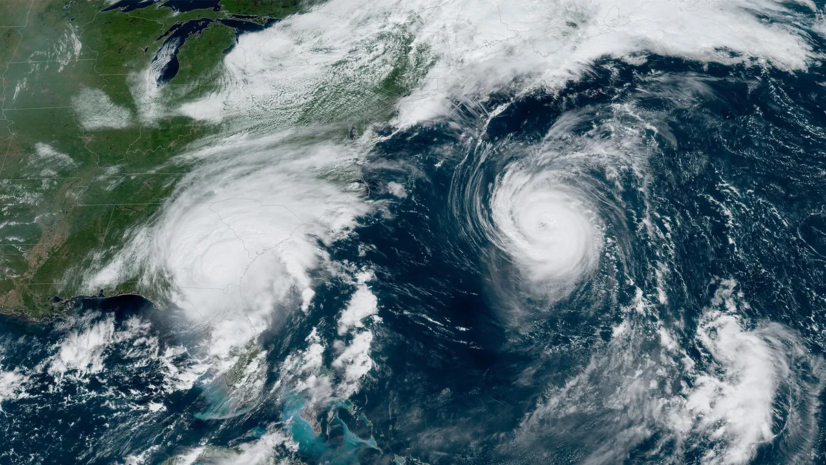
In a significant development for weather forecasting, the National Hurricane Center has announced a proposal to update its tropical cyclone “cone of uncertainty” forecast graphic for the 2026 hurricane season. This change aims to enhance how storm track forecasts are communicated and interpreted by the public, ensuring that communities are better prepared for potential hurricanes.
The current cone of uncertainty, which has been a staple in hurricane forecasting, operates on a 67% confidence interval. This means that the storm’s center remains within the cone approximately two-thirds of the time. However, the proposed updates will increase this confidence level to 90%, reflecting a broader range of possible track outcomes. This shift is expected to provide a more accurate representation of storm paths, especially as communities brace for the unpredictable nature of hurricanes.
One of the most notable changes is that the experimental cone will be about 23% wider than the current version. This adjustment is particularly important for slow-moving storms, which can cause prolonged periods of uncertainty and anxiety for those in their projected paths. By offering a clearer representation, the National Hurricane Center hopes to alleviate some of the confusion that often accompanies storm forecasts.
The experimental cone will be produced and published shortly after the current operational cone during each forecast cycle of the 2026 season, allowing for timely updates as conditions evolve. This proactive approach is part of the National Hurricane Center’s commitment to improving public safety and ensuring that communities have the information they need to make informed decisions.
Historically, the National Hurricane Center’s cone of uncertainty track maps began in 2002 and remained largely unchanged until about 2017. The proposed updates are a response to ongoing feedback from meteorologists and the public, highlighting the need for a more intuitive understanding of storm forecasts. Jamie Rhome, a prominent figure at the National Hurricane Center, expressed that these changes would address a longstanding problem with how people perceived the cone, stating, “This would partially address the longstanding problem with the way people naturally viewed the cone, which was not in line with how it was created or formulated.”
Community reactions to the proposed changes have been mixed but generally positive. Tom Sorrells, a local meteorologist, shared his initial skepticism, saying, “I looked at the new cone, and I thought it looked like a leprechaun threw up. Now, I think I can use it to message better. I’m into it now.” His candid remarks reflect the initial confusion that can accompany significant changes in established practices, yet also the potential for improved communication and understanding.
As the 2026 hurricane season approaches, which runs from June 1 through November 30, the National Hurricane Center’s updates are crucial for ensuring that communities are well-prepared for any storms that may arise. By enhancing the clarity and accuracy of storm forecasts, the National Hurricane Center is taking important steps to protect lives and property in vulnerable areas.
Details remain unconfirmed regarding the exact implementation timeline for these changes, but the National Hurricane Center is committed to keeping the public informed as the new season approaches. As communities gear up for another hurricane season, the hope is that these updates will lead to better preparedness and response strategies, ultimately saving lives and minimizing damage.


