High Wind Warnings Issued
High Wind Warnings are in effect for most of western Montana from midnight Wednesday night until 6 PM Thursday. Damaging wind gusts over 50 mph are anticipated, with isolated mountain gusts potentially reaching up to 80 mph.
Regions Affected
The warnings cover the Kootenai/Cabinet Region, Flathead/Mission Valleys, Missoula/Bitterroot Valleys, Potomac/Seeley Lake Region, Butte/Blackfoot Region, and portions of central, north central, and southwest Montana. Additionally, High Wind Watches are in effect for areas including the Livingston Area, Beartooth Foothills, and several other regions.
Impending Storm
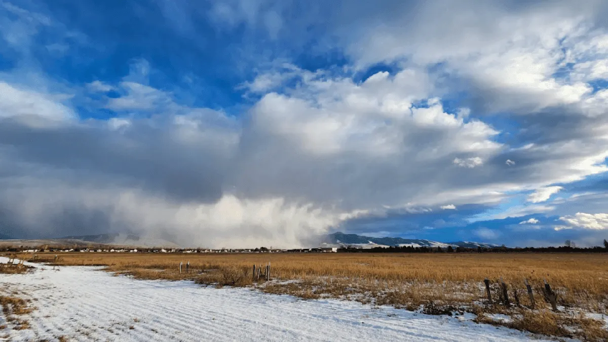
A powerful atmospheric river is set to impact the Northern Rockies from late Wednesday through Saturday, bringing not only strong winds but also heavy precipitation. Wind gusts of 60 to 80 mph are possible in eastern Montana on Thursday, with the storm potentially producing winds up to 95 mph along the Rocky Mountain Front.
Snow Accumulation Expected
The storm is also expected to bring significant snowfall, with forecasts indicating 2-6 inches of wet snow at lower elevations and 20-40 inches of snow in high country above 5,000 feet. In the highest elevations of northwest and west-central Montana, snow accumulation could reach as much as 3-6 feet.
Temperature Fluctuations
As the atmospheric river moves in, significant temperature fluctuations across Montana are anticipated. This could lead to rapidly changing conditions, impacting both travel and outdoor activities.
Details remain unconfirmed regarding the exact timing and intensity of the storm, but residents are advised to prepare for severe weather conditions.


