Atlanta Weather Update
The tornado watch for central and east-central Georgia has expired, but residents are advised to remain cautious as a wind advisory is currently in effect across North and Central Georgia until 8 p.m. Thursday. Wind gusts from the north to northwest could reach up to 35 mph, which poses a risk for downed trees and power outages.
Earlier storms brought heavy rain to the area, saturating the ground and increasing the likelihood of hazardous conditions. Light rain is expected to persist for several hours in areas east of Interstate 75, further complicating the situation.
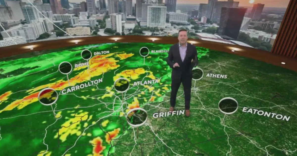
Strong to severe thunderstorms swept across Georgia early Thursday, prompting tornado warnings and watches. During these storms, wind gusts approached 60 mph, leading to significant weather disruptions.
In response to the severe weather threat, several school systems have announced delays in the start of classes. The Meriwether County School System, Troup County School System, and Rockdale County Public Schools all reported two-hour delays for school openings.
The National Weather Service reported that these storms have left a mark on the region, with many residents experiencing the effects of the intense weather.
Looking ahead, another weather system is expected to bring additional thunderstorms to the region from Sunday into Monday. Residents are encouraged to monitor updates closely as conditions may change.
As the situation develops, authorities will continue to provide updates on weather conditions and any potential impacts on the community.
Details remain unconfirmed regarding the extent of damage caused by the recent storms, but the community is urged to stay alert and prepared for any further developments.


